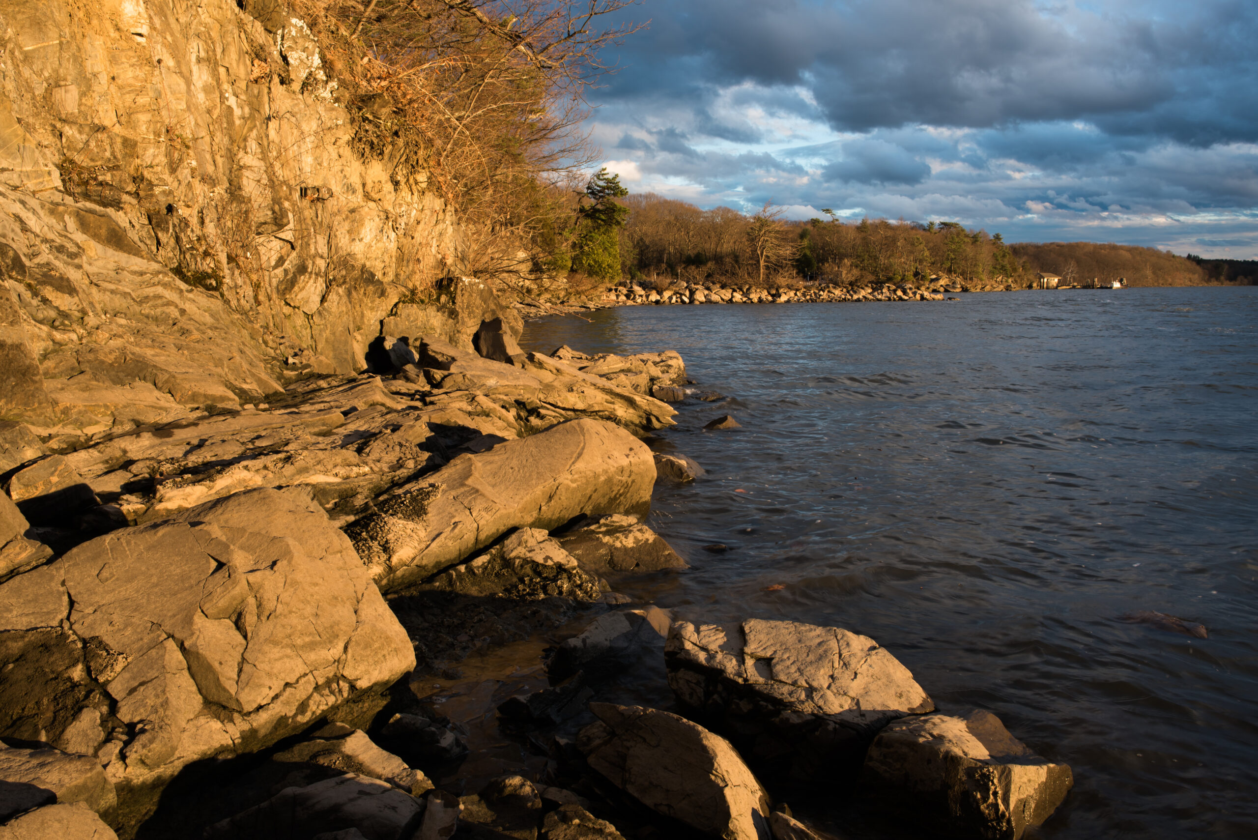
The Hudson River, a majestic waterway that winds its way through the heart of New York State, is a true marvel of nature. From its lofty source in the Adirondack Mountains to its serene coastal mouth, the river’s elevation undergoes a remarkable transformation, revealing the diverse landscapes it traverses.
What is the Source Elevation of the Hudson River?

The Hudson River originates at Lake Tear of the Clouds, which is situated on the shoulder of Mount Marcy, the highest peak in New York State. The source elevation of the Hudson River is a staggering 4,322 feet (1,317 meters) above sea level.
| Elevation Measurement | Value |
|---|---|
| Source Elevation | 4,322 feet (1,317 meters) |
| Elevation at Hudson Falls | 150 feet (45.7 meters) |
| Elevation at New York Harbor | 0 feet (0 meters) |
This lofty starting point in the Adirondack Mountains sets the stage for the river’s dramatic descent, as it winds its way through the rugged terrain and eventually reaches the coastal regions.
How Does the Elevation Change Along the Hudson River?

As the Hudson River flows southward, its elevation undergoes a significant drop. At Hudson Falls, located approximately 45 miles south of the source, the river’s elevation is approximately 150 feet (45.7 meters) above sea level.
This substantial decrease in elevation highlights the dramatic topographical changes the river encounters as it makes its way through the landscape. The steep drop in elevation is a testament to the powerful forces that have shaped the region over geological time.
What is the Elevation at the Hudson River’s Mouth?
At its mouth in New York Harbor, the Hudson River’s elevation is at sea level, which is 0 feet (0 meters) above sea level. This coastal location, where the river meets the Atlantic Ocean, represents the final stage of the river’s journey, as it flows into the vast expanse of the ocean.
The transition from the lofty source in the Adirondacks to the sea-level mouth in New York Harbor is a testament to the river’s remarkable journey, traversing a diverse range of landscapes and elevations along the way.
How Does the Hudson River’s Elevation Compare to Other Major Rivers?
To put the Hudson River’s elevation into perspective, let’s compare it to some other major rivers:
| River | Source Elevation | Mouth Elevation |
|---|---|---|
| Mississippi River | 1,475 feet (449 meters) | 0 feet (0 meters) |
| Colorado River | 12,000 feet (3,658 meters) | 0 feet (0 meters) |
| Nile River | 5,594 feet (1,706 meters) | 0 feet (0 meters) |
As you can see, the Hudson River’s source elevation of 4,322 feet (1,317 meters) is quite significant, especially when compared to other major rivers like the Mississippi and the Nile. The dramatic drop in elevation from the source to the mouth is a defining characteristic of the Hudson River’s geography.
What Factors Influence the Hudson River’s Elevation?
The Hudson River’s elevation is influenced by a variety of factors, including:
-
Geology: The river’s path is shaped by the underlying geology of the region, with the Adirondack Mountains and other geological features playing a significant role in the river’s elevation changes.
-
Glaciation: The Hudson River’s course and elevation were heavily influenced by the glacial activity that occurred during the last ice age, which carved out the river’s valley and shaped the surrounding landscape.
-
Tidal Influences: As the river approaches the coast, it is subject to tidal influences from the Atlantic Ocean, which can affect the water level and elevation at the river’s mouth.
-
Human Interventions: Over the centuries, human activities such as the construction of dams, locks, and other infrastructure have also impacted the river’s elevation at various points along its course.
Understanding these factors is crucial in appreciating the complex and dynamic nature of the Hudson River’s elevation profile.
Conclusion
The Hudson River’s elevation, from its lofty source in the Adirondack Mountains to its coastal mouth in New York Harbor, is a testament to the river’s remarkable journey and the diverse landscapes it traverses. The dramatic changes in elevation, from over 4,300 feet (1,300 meters) to sea level, highlight the river’s role in shaping the geography and geology of the region.
By exploring the Hudson River’s elevation, we gain a deeper appreciation for the intricate interplay between natural forces and the river’s evolution over time. This knowledge not only enhances our understanding of the river’s past but also informs our efforts to protect and preserve this vital natural resource for generations to come.
Reference:
- https://pubs.usgs.gov/gip/70039376/report.pdf
- https://www.lakeplacid.com/story/2014/10/start-of-hudson-river-lake-tear-clouds
- https://en.wikipedia.org/wiki/Hudson_River
