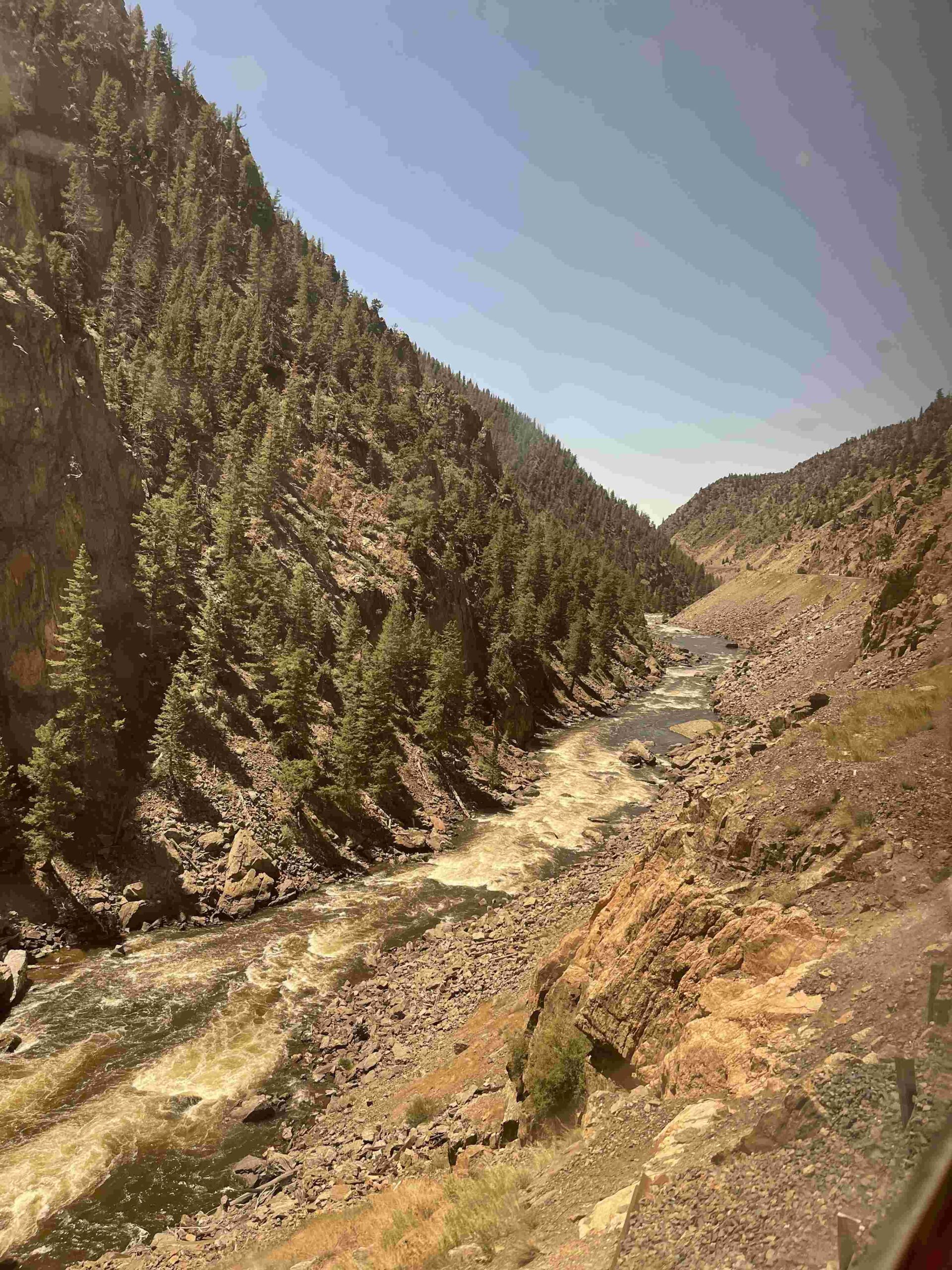
The Potash Lower Colorado River Scenic Byway is a 17-mile paved road that winds along the Colorado River near Moab, Utah. This scenic route offers breathtaking views of red rock formations, ancient petroglyphs, and unique geological features. Visitors can explore numerous hiking trails, rock climbing areas, and scenic viewpoints while learning about the region’s potash mining history. The byway starts at the junction of US-191 and ends at the Potash Boat Ramp, providing access to some of the most spectacular landscapes in the American Southwest.
What Are the Key Attractions Along the Potash Lower Colorado River Scenic Byway?

The Potash Lower Colorado River Scenic Byway boasts a variety of natural and historical attractions:
- River Pullout (Mile 2)
- Jaycee Park & Portal Overlook (Mile 4)
- Wall Street Climbing Area (Mile 4.5)
- Rock Art Panels
- Corona Arch Trailhead (Mile 10)
- Bowtie Arch
- Jug Handle Arch (Mile 13.5)
- Poison Spider Trail
- Potash Boat Ramp (Mile 17)
Each of these landmarks offers unique experiences, from scenic vistas to challenging hikes and rock climbing opportunities.
How Can Visitors Access the Potash Lower Colorado River Scenic Byway?

The Potash Lower Colorado River Scenic Byway is easily accessible by most vehicles:
- Starting Point: Junction of US-191, approximately 4 miles north of Moab
- GPS Coordinates: 38.564533, -109.631441
- Road Condition: Paved for 17 miles
- Vehicle Requirements: Suitable for standard passenger vehicles up to the Potash Boat Ramp
Beyond the Potash Boat Ramp, the road becomes a 4×4 trail leading to Shafer Trail, which requires high-clearance, four-wheel-drive vehicles.
What Is the Historical Significance of Potash Mining in the Region?
Potash mining has played a crucial role in the region’s economy and development:
- Timeline:
- Mid-20th century: Potash mining begins
- 1950s-1960s: Significant operations commence
- Major Companies:
- Intrepid Potash: Operates the Wendover and Moab mines
- Evolution of Extraction Techniques:
- Traditional mining methods
- Solution mining (current primary method)
The Moab potash mine is one of the largest in the United States, contributing significantly to the local economy through employment and revenue generation.
How Does the Potash Extraction Process Work?
The potash extraction process in the Moab area primarily uses solution mining:
- Water injection: Pumped into underground potash deposits
- Dissolution: Potash dissolves in the injected water
- Extraction: Dissolved potash is pumped to the surface
- Processing: Evaporation ponds are used to extract the potash
Environmental Considerations:
– Water usage: Large volumes required
– Potential groundwater contamination
– Land use for evaporation ponds
– Impact on local wildlife habitats
What Scenic Attractions and Visitor Amenities Are Available?
The Potash Lower Colorado River Scenic Byway offers various attractions and amenities for visitors:
| Attraction Type | Examples |
|---|---|
| Scenic Viewpoints | River Pullout, Portal Overlook |
| Hiking Trails | Corona Arch, Bowtie Arch, Poison Spider Trail |
| Rock Climbing Areas | Wall Street Climbing Area |
| Historical Sites | Rock Art Panels, Dinosaur Tracks |
Visitor Amenities:
– Parking areas at key attractions and trailheads
– Picnic areas (e.g., Jaycee Park)
– Campgrounds (e.g., Jaycee Park Campground)
– Interpretive signs for rock art and dinosaur tracks
When Is the Best Time to Visit the Potash Lower Colorado River Scenic Byway?
The best time to visit the Potash Lower Colorado River Scenic Byway depends on various factors:
- Spring (March-May):
- Pros: Mild temperatures, wildflowers in bloom
- Cons: Potential for occasional rain showers
- Summer (June-August):
- Pros: Long daylight hours, warm evenings
- Cons: Extremely hot temperatures, crowded attractions
- Fall (September-November):
- Pros: Comfortable temperatures, fewer crowds
- Cons: Shorter daylight hours
- Winter (December-February):
- Pros: Solitude, potential for snow-dusted landscapes
- Cons: Cold temperatures, limited services
Guided tours, such as rock climbing and canyoneering experiences, typically operate from April to November.
How Can Visitors Prepare for a Trip to the Potash Lower Colorado River Scenic Byway?
To ensure a safe and enjoyable visit to the Potash Lower Colorado River Scenic Byway, consider the following preparations:
- Vehicle Check:
- Ensure your vehicle is in good condition
- Fill up with gas before starting the drive
- Weather Awareness:
- Check local weather forecasts
- Be prepared for sudden temperature changes
- Essential Supplies:
- Bring plenty of water (at least 1 gallon per person per day)
- Pack snacks and food
- Carry a first-aid kit
- Sun Protection:
- Wear sunscreen, hats, and sunglasses
- Bring lightweight, long-sleeved clothing
- Navigation:
- Bring a physical map or download offline maps
- Don’t rely solely on cell phone coverage
- Respect the Environment:
- Follow Leave No Trace principles
- Stay on designated trails and roads
- Inform Others:
- Let someone know your itinerary and expected return time
By following these guidelines, visitors can maximize their experience on the Potash Lower Colorado River Scenic Byway while ensuring their safety and preserving the natural environment.
References:
1. Moab Adventure Center – Potash Road Scenic Drive
2. Utah.com – Potash Moab Scenic Drive
3. Visit Utah – Potash Road – Lower Colorado River Scenic Byway

