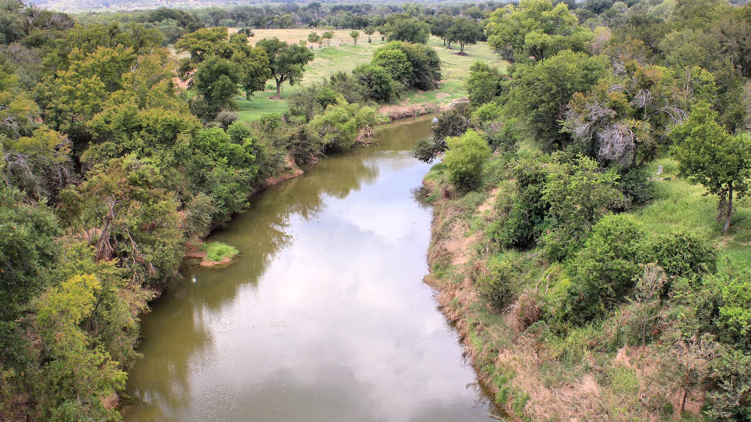
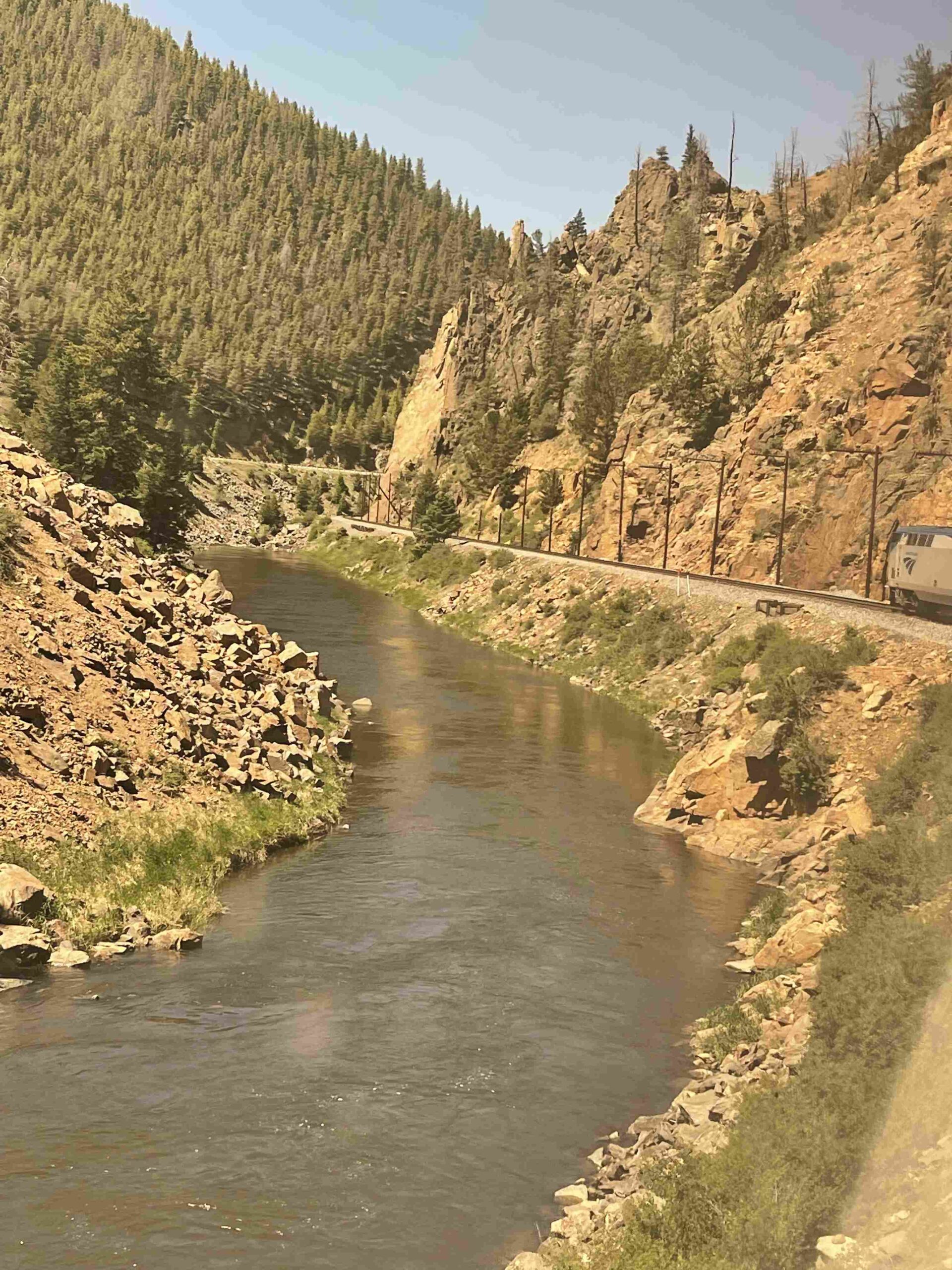
The Colorado River in the Grand Canyon offers breathtaking views from various high points along its course. While the river itself flows at lower elevations, the surrounding canyon rims and viewpoints provide spectacular vantage points. The North Rim stands at 9,165 feet, while the South Rim ranges from 7,000 to 8,000 feet. These elevations offer unparalleled views of the river’s winding path through the canyon, showcasing the geological marvels carved over millions of years.
What Are the Highest Elevation Points Along the Colorado River in the Grand Canyon?

The highest elevation points related to the Colorado River in the Grand Canyon are not directly on the river itself but rather at the rims and high points of the canyon:
- North Rim Entrance
- Elevation: 9,165 feet (2,793 m)
- GPS Coordinates: Approximately 36.2167° N, 112.0667° W
- Nearest Access Point: North Rim Visitor Center
-
Trails: Accessible via North Kaibab Trail
-
South Rim
- Elevation: 7,000 to 8,000 feet (2,134 to 2,438 m)
- GPS Coordinates: Approximately 36.0667° N, 112.1333° W
- Nearest Access Point: South Rim Visitor Center
- Trails: Accessible via Bright Angel Trail and South Kaibab Trail
Where Are the Best Viewpoints of the Colorado River from the Grand Canyon Rim Trails?

Several viewpoints offer stunning vistas of the Colorado River from the Grand Canyon rim trails:
- Mather Point
- Accessibility: Paved paths, wheelchair accessible
- Amenities: Restrooms, parking, short walk to viewpoint
-
View: One of the most popular and accessible views of the Colorado River from the South Rim
-
Yavapai Point
- Accessibility: Paved paths, wheelchair accessible
- Amenities: Restrooms, parking
-
View: Panoramic view of the Colorado River and the Grand Canyon
-
Grand Canyon Village Viewpoints
- Accessibility: Various viewpoints accessible by car or shuttle
- Amenities: Restrooms, parking, shops, and restaurants
-
View: Multiple vantage points to see the Colorado River from the South Rim
-
Cape Royal
- Location: End of Desert View Drive
- Accessibility: Paved paths, wheelchair accessible
- Amenities: Restrooms, parking
- View: Spectacular view of the Colorado River and the canyon from the North Rim
What Are the Key Features of Grand Canyon Rim Trails?
The Grand Canyon rim trails offer diverse hiking experiences and views of the Colorado River:
| Trail Name | Length | Difficulty | Estimated Hiking Time | Seasonal Conditions |
|---|---|---|---|---|
| Bright Angel Trail | 9.5 miles (15.3 km) round trip | Strenuous | Several hours to a full day | Open year-round, icy in winter |
| South Kaibab Trail | 6.5 miles (10.5 km) to Phantom Ranch | Strenuous | Several hours to a full day | Open year-round, icy in winter |
| North Kaibab Trail | 14 miles (22.5 km) to Phantom Ranch | Strenuous | Full day or multi-day | Open year-round, North Rim closed in winter |
What Tours Focus on the Highest Points and Overlooks of the Colorado River?
Several tour options allow visitors to experience the highest points and best overlooks of the Colorado River:
- Scenic Drives and Viewpoints Tours
- Cost: $50-$100 per person
- Schedule: Daily tours with multiple departures
- Accessibility: Wheelchair accessible vehicles and viewpoints
-
Highlights: Various viewpoints along Desert View Drive and Hermit Road
-
Hiking and Backpacking Tours
- Cost: $100-$300 for day hikes, $500-$1000+ for multi-day trips
- Group Size: Typically 6-12 people
- Reservation: Advance booking recommended
-
Highlights: Guided hikes on Bright Angel, South Kaibab, and North Kaibab trails
-
Helicopter and Air Tours
- Cost: $150-$300 per person
- Schedule: Multiple daily departures
- Group Size: Varies by aircraft
- Highlights: Aerial views of the Grand Canyon and Colorado River
How Does the Elevation of the Colorado River Compare to the Canyon Rims?
The elevation difference between the Colorado River and the canyon rims is significant:
- Colorado River elevation: Approximately 2,200 feet (670 m) at Phantom Ranch
- North Rim elevation: 9,165 feet (2,793 m)
- South Rim elevation: 7,000 to 8,000 feet (2,134 to 2,438 m)
This elevation difference of about 5,000 to 7,000 feet creates the dramatic views and challenging hikes that make the Grand Canyon famous.
What Are the Best Times to Visit the Highest Points of the Grand Canyon?
The best times to visit the highest points of the Grand Canyon vary by season:
- Spring (March to May): Mild temperatures, fewer crowds
- Summer (June to August): Busiest season, hot temperatures at lower elevations
- Fall (September to November): Cooler temperatures, beautiful colors
- Winter (December to February): Cold temperatures, possible snow, North Rim closed
Consider visiting during sunrise or sunset for the most spectacular views of the Colorado River from the high points.
References:
1. Wikipedia – Grand Canyon
2. National Parked – Grand Canyon Fast Facts
3. National Park Service – Grand Canyon National Park
